Transportation planners across South Carolina are looking at ways to encourage more people to leave the car in the garage and bike or walk to work, the grocery store or their favorite restaurants. Planners and advocates say that safety is the key for more pedestrian- and bike-friendly routes.

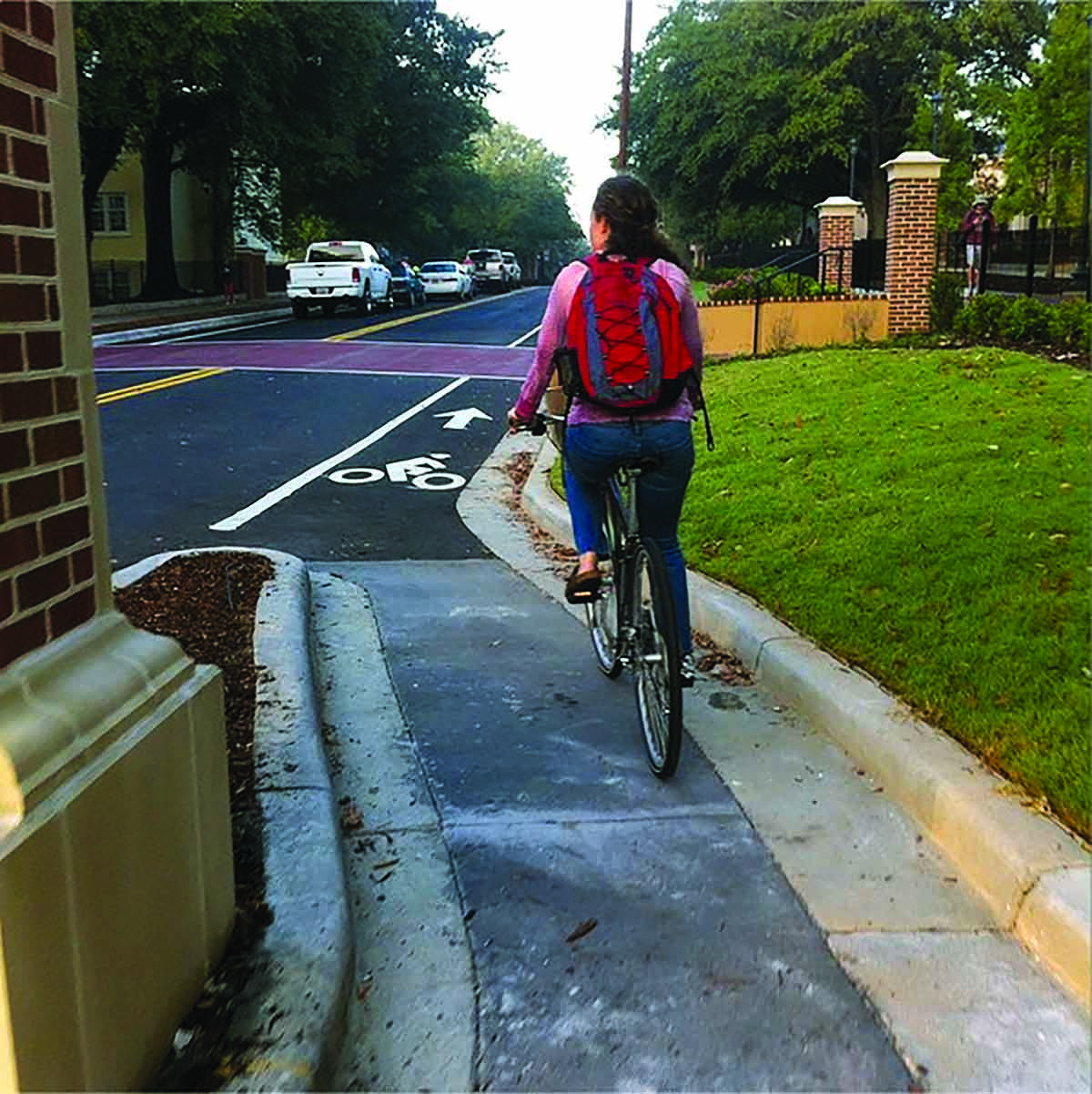
A Greene Street bicycle lane travels around the outside of a gate post on the
University of South Carolina’s campus in Columbia.
Photo: Palmetto Cycling Coalition.
In 2017, more than 6,000 pedestrians and bicyclists were killed and more than 100,000 were injured in traffic accidents in the U.S., according to the National Highway Traffic Safety Administration. South Carolina came in fifth among states for pedestrian deaths, with just over three deaths per 100,000 residents.
One solution to address this alarming statistic is to improve the points where car and bike/pedestrian traffic cross with better signage and clearer delineation of the lanes of travel. But cities have found that the safest routes are those removed from car traffic as much as possible.
In larger cities like Greenville and Charleston, as well as smaller towns like Batesburg- Leesville, planners are looking for safety in routes completely removed from roads and, sometimes, along railways. Efforts start at the point of making these routes as safe as possible as the key of getting more people to use them.
"Most pedestrians in South Carolina are indeed commuting, with small kids in tow, to and from the grocery store, often before or after a transit trip," said Amy Johnson Ely, executive director of the Palmetto Cycling Coalition. "This is sometimes a recreational issue, but it is far more often a basic human services issue of transportation. Making our streets more walkable and bikeable to those using it now with modest income will eventually make them more accessible to people of all incomes."
Greenville
In Greenville County, the Prisma Health Swamp Rabbit Trail has become one of the most popular bikeways in the state. The trail runs from Travelers Rest south to downtown Greenville along a former railway line. A five-mile expansion is planned that will take the trail from Cleveland Park near downtown Greenville east to Clemson University's I-CAR campus near Interstate 85.

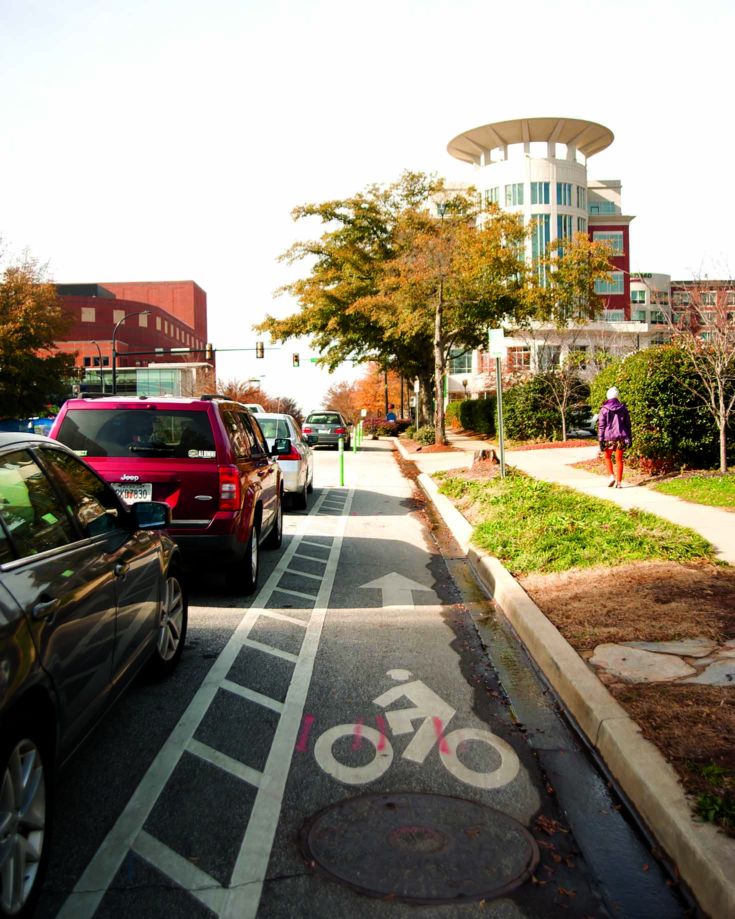
This bike lane on Broad Street in downtown Greenville uses parked cars to
separate bicycles from car traffic. Photo: Michael Dantzler.
"This new extension will be going through an area that's pretty heavily populated already, there are a lot of nearby neighborhoods, and there is also a good bit of commercial development in the area," said Kevin Howard, economic development project manager for the City of Greenville. "We're getting a lot of inquiries about redevelopment in that area."
In response, the city has put together a master plan around the trail expansion to better connect those residents to the trail.
"As the trail develops, we hope to be setting up things that residents will want to utilize," Howard said. "While they may not be walking or biking the trail to work, if they need to run to a restaurant or go to a small market, they could use the trail for it as opposed to getting in a car."
The expansion of the trail will generally follow the Laurens Road corridor — a five-lane highway with cars speeding along at upwards of 40 miles per hour.
"It's not somewhere a pedestrian would be interested in walking along, much less crossing," Howard said. "As part of this plan, we're identifying some areas where we can improve those intersections by identifying what those key crossings are. Then, once we get people across Laurens Road, what sort of spurs do we need to get them back down to the trail itself?"
Batesburg-Leesville
Helping walkers and bikers avoid dangerous thoroughfares is the key to Batesburg-Leesville's plan to span the roughly four-mile gap between their two historic downtown areas. U.S. Highway 1 runs down the middle of both districts, as does a parallel railroad track.
Currently, the railroad right of way is leased by the town from Norfolk Southern. Mostly, it is used for auxiliary parking for folks visiting downtown businesses.
"We hope to utilize this lease agreement to build that rail trail," said Ted Luckadoo, Batesburg-Leesville town manager. "The railroad doesn't want new buildings built within their right of way, but with the rail trail, we can build an asphalt path from one end of town to the other."
That plan came out of a study conducted by the Central Midlands Council of Governments.
"It's going to be a process, it's not going to be done overnight," Luckadoo said, adding that the town recently implemented a hospitality tax that could help pay for the bike and pedestrian path, something he thinks could draw people from the rural area surrounding the town.
"We could become a central area for people who want to get out and get exercise and be able to do that safely," he said. "It would be a way to bring people into our community as well as tie the two downtowns together."
Batesburg-Leesville is also working on improving its sidewalks on U.S. 1, some of which are 50 years old and not suitable for wheelchair access. The town has used an annual allotment from Lexington County of $30,000 to repair and replace many of those sidewalks. Luckadoo said the town also has been awarded $786,000 in grant money from the SC Department of Transportation to add sidewalks on a second main thoroughfare, SC Highway 23, where there aren't any sidewalks, and to extend the sidewalks along U.S. 1.
Charleston
Of all of South Carolina's cities, Charleston probably has the greatest amount of foot traffic, largely on account of tourists and a lack of parking on its peninsula. The city is always looking for ways to reduce car traffic on its narrow historic streets, and encourage commuters to bike and walk to work. Many people who work on the peninsula don't live on it, and commuting often involves crossing over a body of water, alongside thousands of motor vehicles.

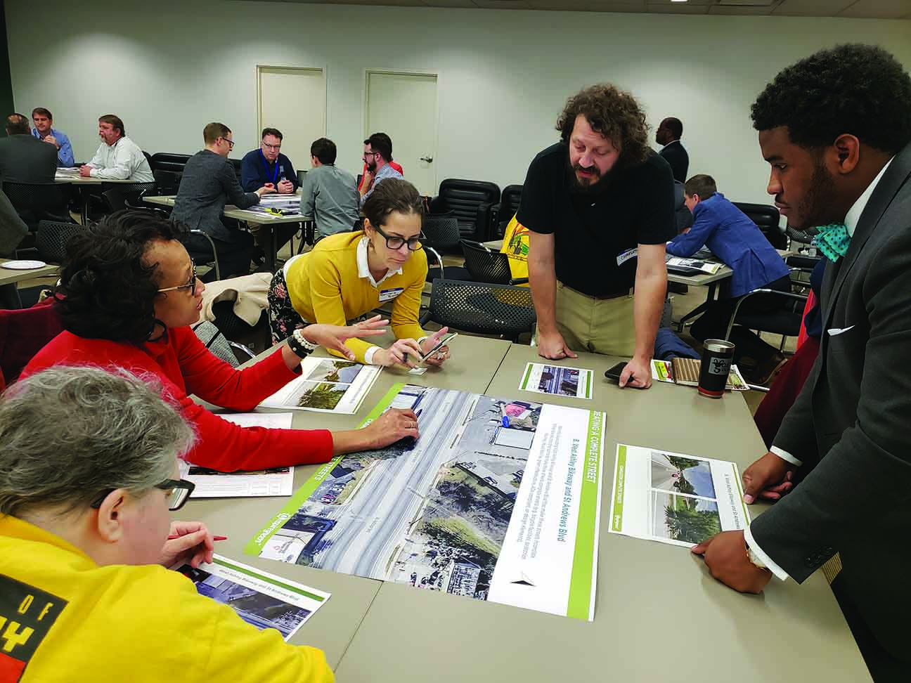
The 2019 Complete Streets training at the Charleston Metro Chamber of Commerce brought together staff from the City of Charleston, Charleston County, SC Department of Transportation and others.
Photo: City of Charleston.
"Our citizens have been asking for these types of things for some time, when you look at surveys from 10 years ago, 20 years ago," said Keith Benjamin, director of traffic and transportation for the City of Charleston. "84% of people who live in West Ashley leave every day in a car and 60% of those say they would use other transportation if it was affordable and safe and reliable."
That is the goal of the city's plan to build a biking and pedestrian bridge across the Ashley River, just south of where U.S. Highway 17 crosses the river. The city has received an $18.1 million grant from the U.S. Transportation Department for the project.
Benjamin said a very important piece of the route will include safety improvements at intersections along the entire biking and walking commute to the part of the peninsula that is home to a medical center that has about 70,000 total jobs within a 20-minute walk.
"We are thinking through the equity lens, for people who don't have options," Benjamin said. "It's hard to tell people to choose another mode of transportation when it's not safe to do so."
