
For years, county governments have used geographic information system, or GIS, mapping to draw lines for service areas and properties, and to provide highly detailed maps for a variety of needs. South Carolina's cities and towns have not adopted the practice as uniformly, though, because of the variety in their GIS mapping needs and resources.
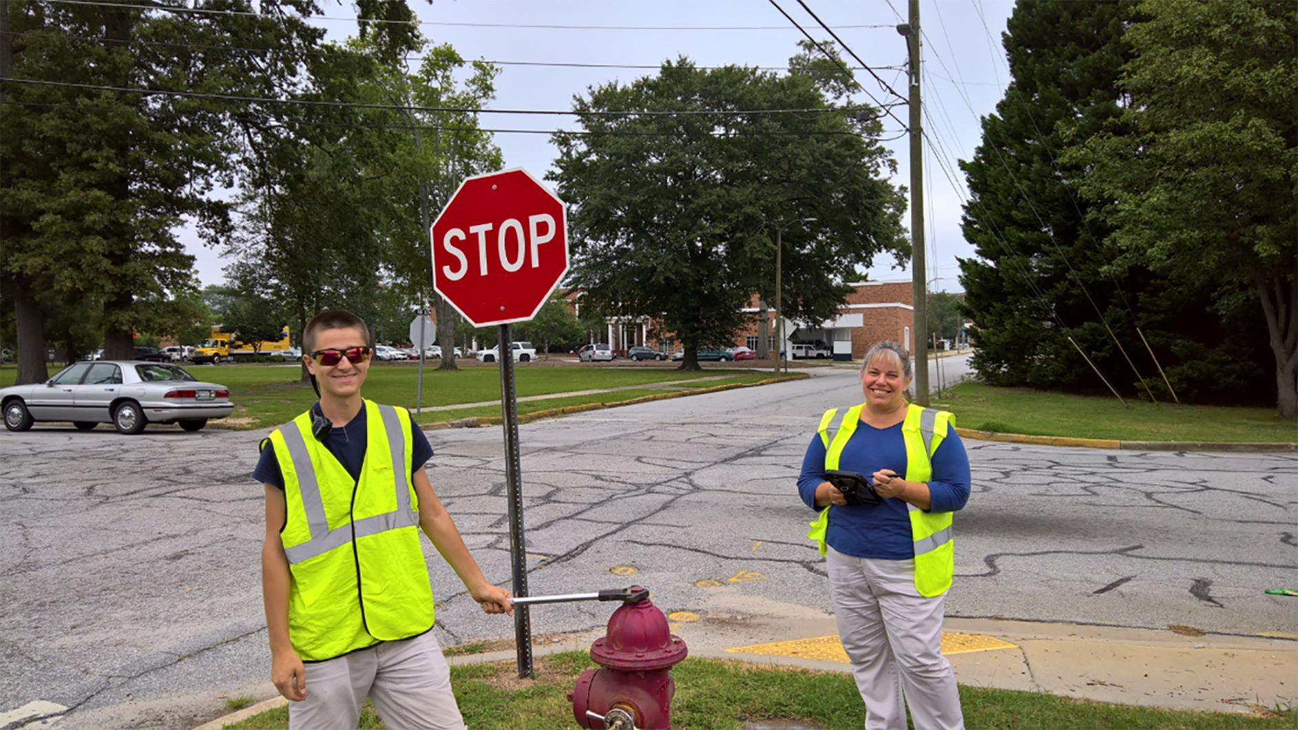
Mary Wasson, right, seen here with Eric Morse, is the
City of Clinton GIS analyst. Photo: City of Clinton.
Staffers in this field find their work a mix of long-term projects and quick solutions to problems as they crop up.
Mary Wasson, City of Clinton GIS analyst, works primarily with the city's water and sewer workers to correct sewer issues.
"Right now, one of our main pushes is manhole inspection and valve turning program," she said.
Before that project could get underway, the city needed to know where everything was located using the Global Positioning System, or GPS.
"The only sewer map we had was a CAD [computer aided design] map from many years ago, so we didn't really have an accurate map," Wasson said. "I physically was out GPSing manholes so we could at least know where our assets are. So, we would GPS the manholes then I would come back in and draw the lines, connecting the dots from manhole to manhole."
Once that map was complete, the inspections could begin.
"A GIS technician and the sewer crew can go out together and inspect the manholes. All the data in the field is collected on a tablet, it goes online and comes back to our database. Everything is interconnected," she said.
That interconnected nature of data keeps Ryan Coleman, GIS manager for the Town of Bluffton, quite busy.
"Any information the town collects that has a geographic component — that's basically everything except financial records — it has something to do with our department," Coleman said. "That's land use, property information, zoning, engineering, capital improvements projects, stormwater and watershed management. All that information has to be stored somewhere and that's what we do. And we serve it up to the public as well. We create paper maps and web maps and put the information online."
Ryan Coleman is the GIS manager for the Town of Bluffton. Photo: Town of Bluffton.
All the different components means Coleman doesn't really have a typical day.
"One of the great things about working for a small town is you get to wear a lot of hats," he said. "I do database administration, I do web development, I fly drones, then I make maps. Anything that involves GIS, I end up having something to do with it."
Coleman has worked for Bluffton for eight years — a time that has seen significant growth for the town and for the use of GIS.
"I'm taking the data and converting it to different formats so I can upload it to the internet and people will be able to access it from there," he said.
That information is key for city and town councilmembers as they attempt to balance the sometimes competing concerns of residents.
"We have a whole division that does watershed management," Coleman said. "Our local rivers — the May River and the New River — are really important for a lot of people, not just for recreation, but also for fishing and oysters. Protecting those rivers is really important, so there is a lot of public outreach, as far as knowing that you are in the watershed and what you need to do to protect the rivers."
Coleman said the city shares its information with neighboring Hilton Head Island and Beaufort County.
"We're really lucky to have a good relationship with the county and with other municipalities like Hilton Head," he said. "Everyone who does GIS in this area, we all know each other and meet together quarterly and we share information."
For example, Bluffton uses parcel data from Beaufort County and creates address data from that, which the city shares with the county.
"We recently created permits and applications maps that you can go online and see what new developments are going on around town," Coleman says.
That kind of immediacy was not available to Jim Kiley when he started working in GIS with the City of Rock Hill in 1989. Kiley started two years earlier in the engineering division, creating water, sewer and roadway design drawings. When he joined the city's newly created three-person team to build a GIS mapping system for its water, sewer and electricity customers, Kiley and the GIS team developed maps from old drawings of building locations.
In many cases, the city's meter readers provided the data that would be added to existing maps using AutoCAD, an early drawing and mapping computer program. It was labor-intensive work that took hours and days to do what today can be done in minutes.
"When we were all done, we had addresses, streets and a set of parcels," Kiley said. "From there, we gained city council support for GIS by creating the city's first GIS-generated voting ward map."
Kiley now works with the latest GIS software to continually update and analyze data that informs the city's management and staff for all kinds of projects.
"On those first maps, we had three layers," Kiley said. "Today we have over 200 layers."
Those layers include utilities, zoning and voting lines, as well as things like recycling and garbage zones.
"We have people doing cemetery assessments, people doing tree and sidewalk conditions," Kiley said. "They literally walk the streets and mark on the map where the point is and fill out the attributes."
That information helps the city's elected leaders decide the priorities for repairs and new equipment or when the individual voting districts have grown out of balance population-wise.
Kiley pointed to expanded offerings, including the city's parks, recreation and tourism department that has added a velodrome and a BMX course that draws visitors to the city from around the world. Increased development around those locations naturally leads to more growth opportunities for GIS and Rock Hill.
"People come in with new visions and new plans, and the public has new needs and wants, and we have to meet all those as a government to serve our public well," Kiley said.